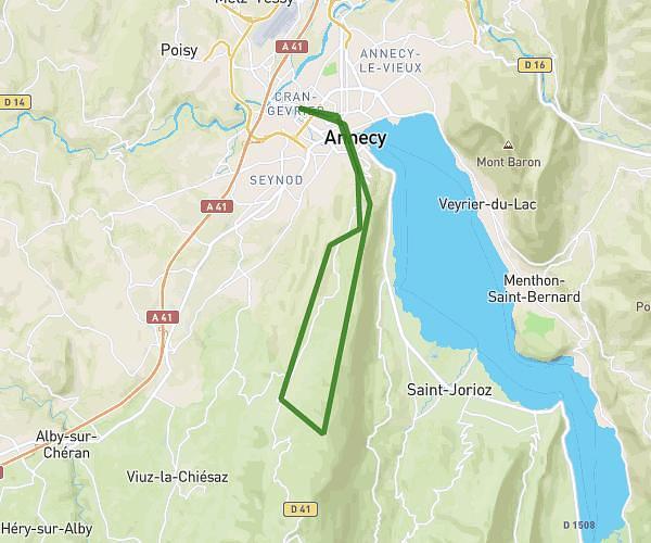
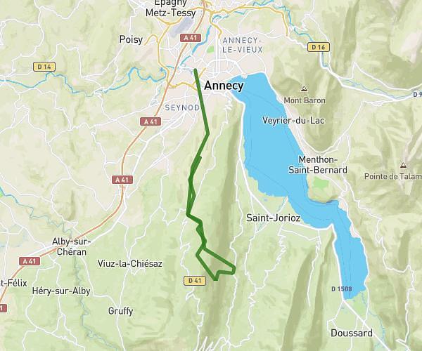
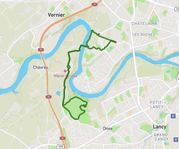
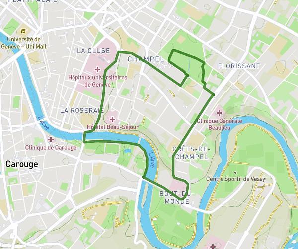
This running route covers 2.317mi starting from La Roche-sur-Foron, Haute-Savoie. The run does not return to the trailhead and ends near Route De Bonneville, 74800 Amancy, France. This run is rated as easy, expect about 48m to complete it. The route has an elevation gain of 26ft and an elevation loss of 141ft.
test
Route details
2.9mph
Speed
549 kcal
Calories burned
Point to point
Route type
1673ft
Min altitude
1814ft
Max altitude
Route profile
26ft
Elevation gain
141ft
Elevation loss
1673ft
Min altitude
1814ft
Max altitude
How to get there
Trailhead: 50 Rue De L'égalité, 74800 La Roche-sur-Foron, France
GPS coordinates of the trailhead: 46.06868, 6.31366 / 46°4'7'' N, 6°18'49'' E