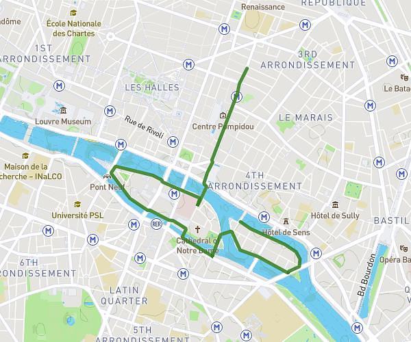
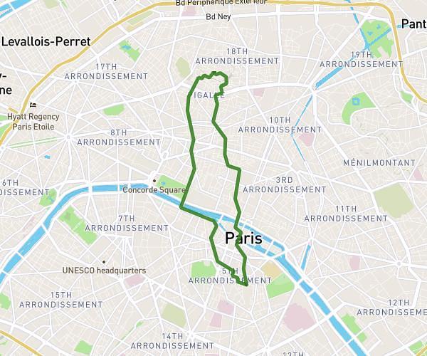
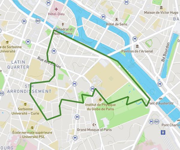
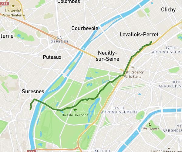
This running route covers 4.338mi starting from Île-de-France, Paris. The run is a loop trail and returns to the trailhead. This run is rated as easy, expect about 46m32s to complete it. The route has an elevation gain of 522ft and an elevation loss of 522ft.
7KM
Route details
5.59mph
Speed
532 kcal
Calories burned
Loop trail
Route type
95ft
Min altitude
203ft
Max altitude
Route profile
522ft
Elevation gain
522ft
Elevation loss
95ft
Min altitude
203ft
Max altitude
How to get there
Trailhead: 10 Passage Thiéré, 75011 Paris, France
GPS coordinates of the trailhead: 48.85376, 2.37422 / 48°51'13'' N, 2°22'27'' E