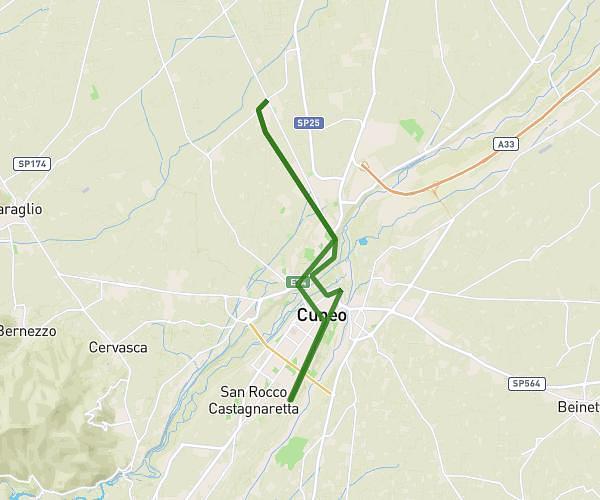
This running route covers 2.999mi starting from Carrù, Cuneo. The run does not return to the trailhead and ends near Strada Orià 3, 12061 Carrù Cuneo, Italy. This run is rated as easy, expect about 48m15s to complete it. The route has an elevation gain of 187ft and an elevation loss of 187ft.
test
Route details
3.73mph
Speed
552 kcal
Calories burned
Point to point
Route type
1161ft
Min altitude
1280ft
Max altitude
Route profile
187ft
Elevation gain
187ft
Elevation loss
1161ft
Min altitude
1280ft
Max altitude
How to get there
Trailhead: Via Pippo Vacchetti 18d, 12061 Carrù Cuneo, Italy
GPS coordinates of the trailhead: 44.47813, 7.87303 / 44°28'41'' N, 7°52'22'' E