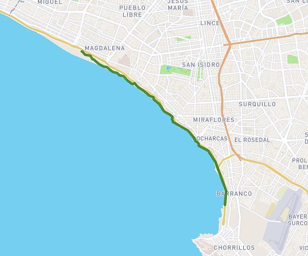
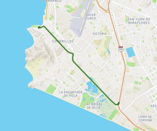
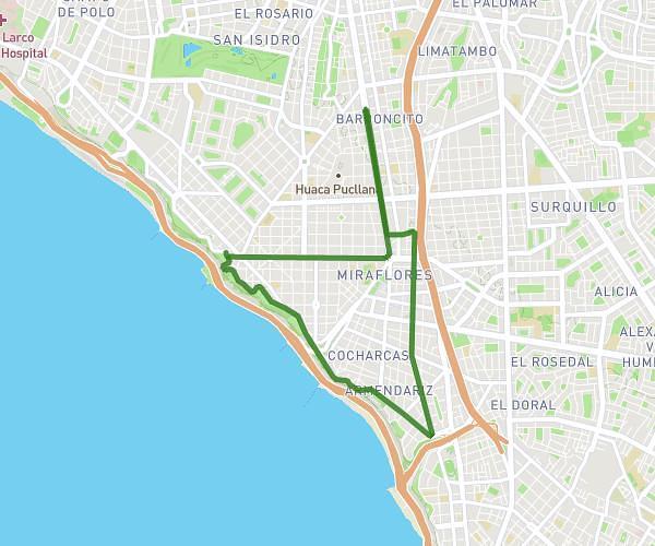
This running route covers 7.457mi starting from Lima, Lima Province. The run is a loop trail and returns to the trailhead. This run is rated as hard, expect about 1h42m to complete it. The route has an elevation gain of 315ft and an elevation loss of 305ft.
12 km. San Isidro
Route details
4.35mph
Speed
1176 kcal
Calories burned
Loop trail
Route type
233ft
Min altitude
361ft
Max altitude
Route profile
315ft
Elevation gain
305ft
Elevation loss
233ft
Min altitude
361ft
Max altitude
How to get there
Trailhead: Avenida General Juan Antonio Pezet 561, Lima, Lima Province, Peru
GPS coordinates of the trailhead: -12.10252, -77.04308 / 12°6'9'' S, 77°2'35'' W