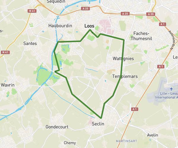
This running route covers 5.228mi starting from Bachy, Nord. The run is a loop trail and returns to the trailhead. This run is rated as moderate, expect about 56m to complete it. The route has an elevation gain of 46ft and an elevation loss of 92ft.
Bachy Cobrieux
Route details
5.6mph
Speed
640 kcal
Calories burned
Loop trail
Route type
131ft
Min altitude
223ft
Max altitude
Route profile
46ft
Elevation gain
92ft
Elevation loss
131ft
Min altitude
223ft
Max altitude
How to get there
Trailhead: 59b Route Nationale, 59830 Bachy, France
GPS coordinates of the trailhead: 50.538439, 3.265418 / 50°32'18'' N, 3°15'55'' E