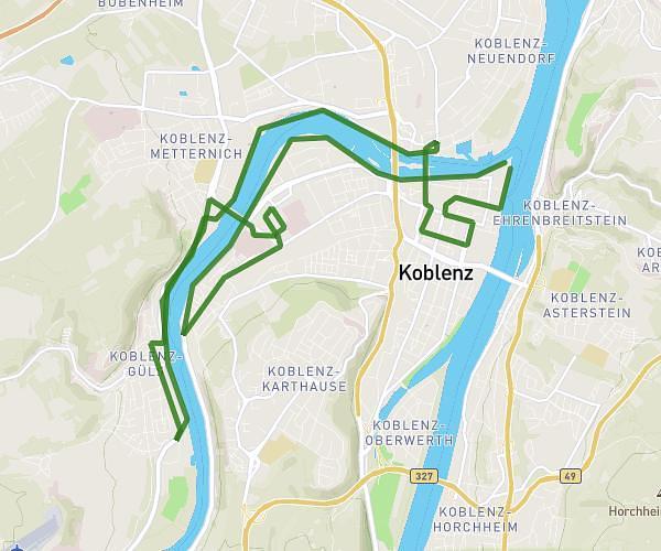
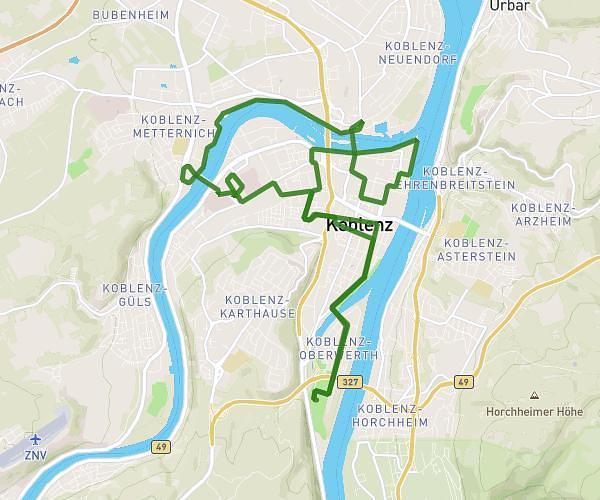
This running route covers 12.721mi starting from Koblenz, Rhineland-Palatinate. The run is a loop trail and returns to the trailhead. This run is rated as strenuous, expect about 2h16m to complete it. The route has an elevation gain of 719ft and an elevation loss of 719ft.
Koblenz Halbmarathon 3
Route details
5.61mph
Speed
1555 kcal
Calories burned
Loop trail
Route type
203ft
Min altitude
262ft
Max altitude
Route profile
719ft
Elevation gain
719ft
Elevation loss
203ft
Min altitude
262ft
Max altitude
How to get there
Trailhead: Am Deutschen Eck, 56068 Koblenz, Germany
GPS coordinates of the trailhead: 50.36432, 7.605169 / 50°21'51'' N, 7°36'18'' E