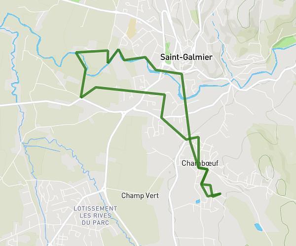
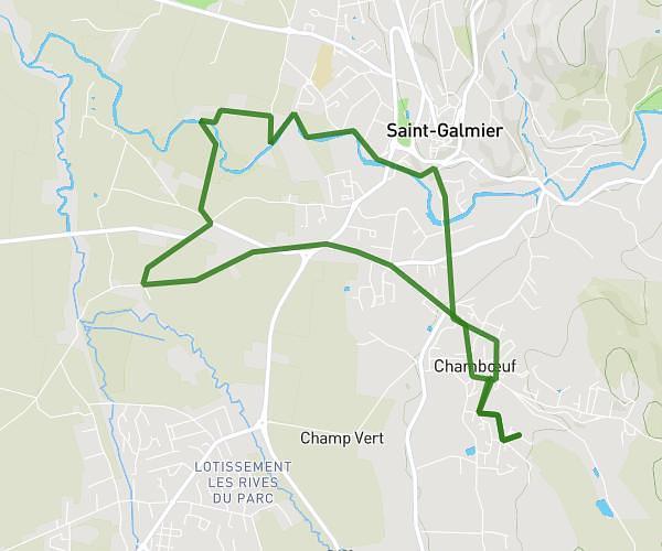
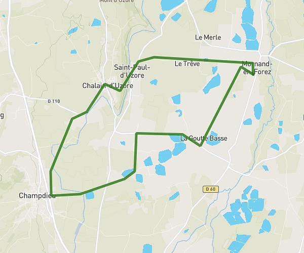
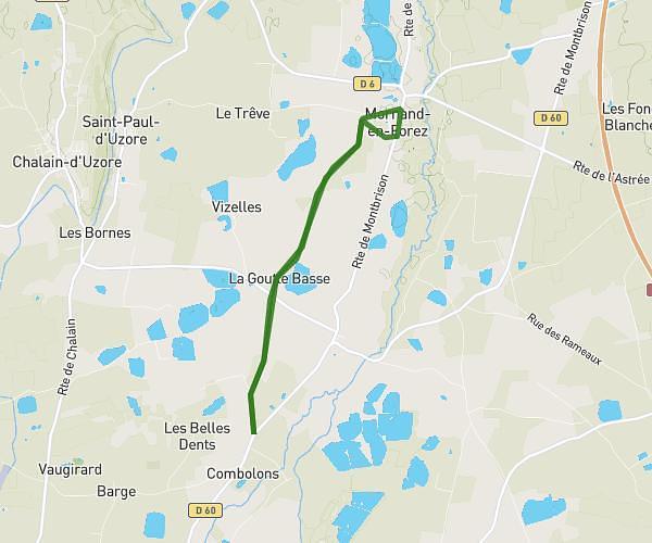
This running route covers 10.584mi starting from Chalain-d'Uzore, Loire. The run does not return to the trailhead and ends near D 5, 42600 Chalain-d'Uzore, France. This run is rated as hard, expect about 1h54m to complete it. The route has an elevation gain of 26ft and an elevation loss of 82ft.
17 km
Route details
5.57mph
Speed
1303 kcal
Calories burned
Point to point
Route type
1181ft
Min altitude
1263ft
Max altitude
Route profile
26ft
Elevation gain
82ft
Elevation loss
1181ft
Min altitude
1263ft
Max altitude
How to get there
Trailhead: 24 Route De Pralong, 42600 Chalain-d'Uzore, France
GPS coordinates of the trailhead: 45.671877, 4.068881 / 45°40'18'' N, 4°4'7'' E