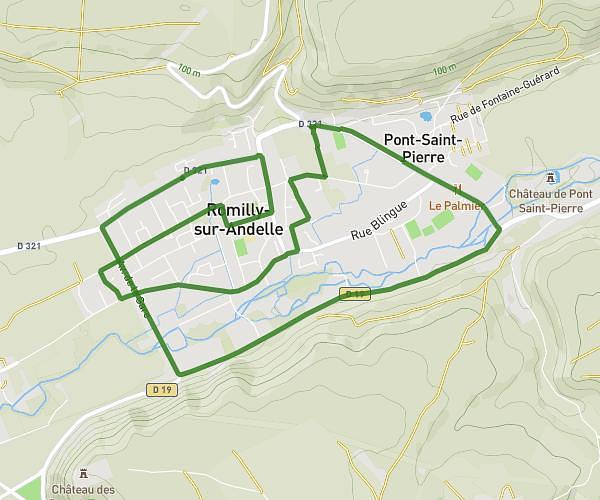
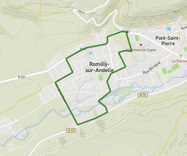
This running route covers 10.28mi starting from La Hallotière, Seine-Maritime. The run is a loop trail and returns to the trailhead. This run is rated as hard, expect about 1h39m to complete it. The route has an elevation gain of 577ft and an elevation loss of 577ft.
16km chapelle - bois Guilbert - bisc Asselin
Route details
6.23mph
Speed
1132 kcal
Calories burned
Loop trail
Route type
571ft
Min altitude
715ft
Max altitude
Route profile
577ft
Elevation gain
577ft
Elevation loss
571ft
Min altitude
715ft
Max altitude
How to get there
Trailhead: 801 Rue Eugène Bisson, 76780 La Hallotière, France
GPS coordinates of the trailhead: 49.51852, 1.4706 / 49°31'6'' N, 1°28'14'' E