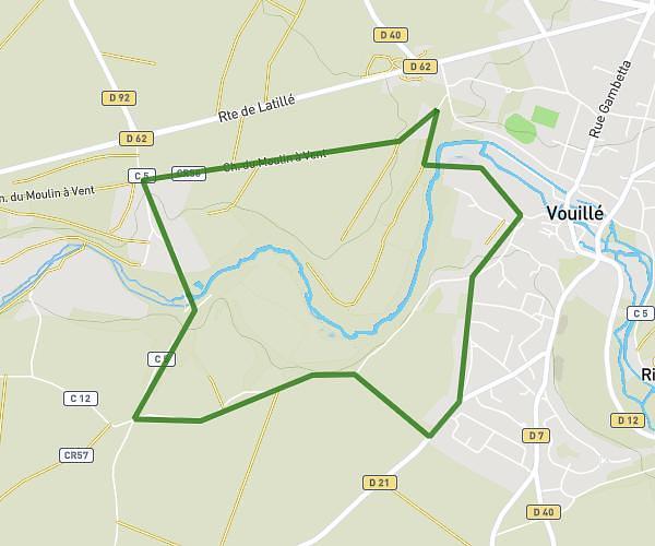
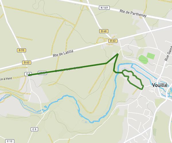
This running route covers 2.166mi starting from Vouillé, Vienne. The run is a loop trail and returns to the trailhead. This run is rated as easy, expect about 23m to complete it. The route has an elevation gain of 187ft and an elevation loss of 187ft.
Boucle château chiré
Route details
5.65mph
Speed
263 kcal
Calories burned
Loop trail
Route type
354ft
Min altitude
423ft
Max altitude
Route profile
187ft
Elevation gain
187ft
Elevation loss
354ft
Min altitude
423ft
Max altitude
How to get there
Trailhead: C 5, 86190 Vouillé, France
GPS coordinates of the trailhead: 46.640247, 0.142641 / 46°38'24'' N, 0°8'33'' E