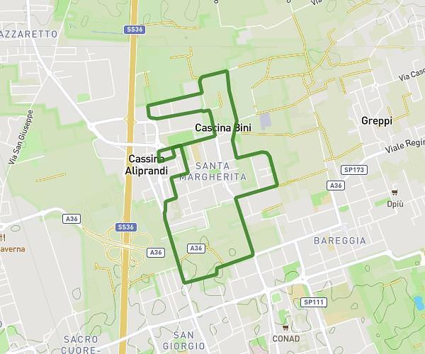
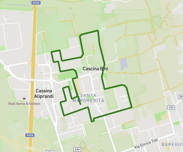
This running route covers 0.823mi starting from Oltrona di San Mamette, Como. The run is a loop trail and returns to the trailhead. This run is rated as easy, expect about 4m44s to complete it. The route has an elevation gain of 13ft and an elevation loss of 36ft.
Oltrona San Mamete
Route details
10.44mph
Speed
54 kcal
Calories burned
Loop trail
Route type
1207ft
Min altitude
1243ft
Max altitude
Route profile
13ft
Elevation gain
36ft
Elevation loss
1207ft
Min altitude
1243ft
Max altitude
How to get there
Trailhead: Via Ferrario 2, 22070 Oltrona di San Mamette Como, Italy
GPS coordinates of the trailhead: 45.75629, 8.975515 / 45°45'22'' N, 8°58'31'' E