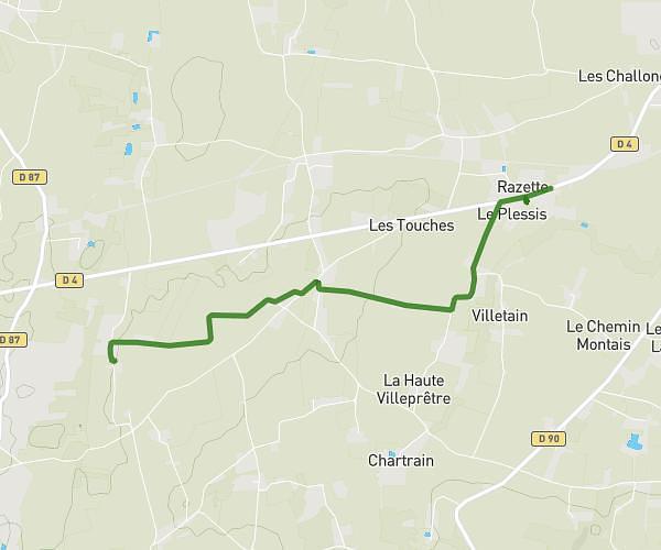
This running route covers 5.715mi starting from Vieux-Vy-sur-Couesnon, Ille-et-Vilaine. The run is a loop trail and returns to the trailhead. This run is rated as moderate, expect about 52m to complete it. The route has an elevation gain of 456ft and an elevation loss of 456ft.
St Christophe
Route details
6.59mph
Speed
595 kcal
Calories burned
Loop trail
Route type
115ft
Min altitude
279ft
Max altitude
Route profile
456ft
Elevation gain
456ft
Elevation loss
115ft
Min altitude
279ft
Max altitude
How to get there
Trailhead: 28 Rue Jean Lizé, 35490 Vieux-Vy-sur-Couesnon, France
GPS coordinates of the trailhead: 48.33855, -1.49054 / 48°20'18'' N, 1°29'25'' W