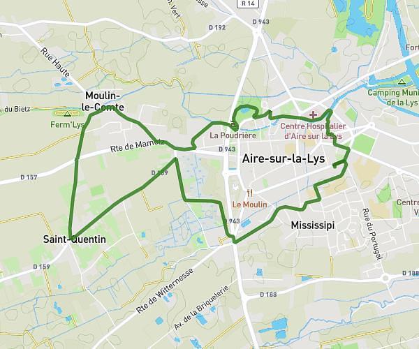
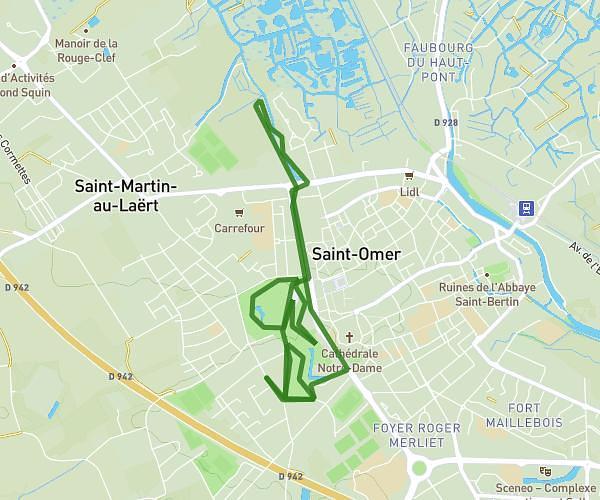
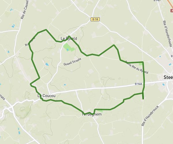
This running route covers 4.727mi starting from Blendecques, Pas-de-Calais. The run is a loop trail and returns to the trailhead. This run is rated as easy, expect about 5s to complete it. The route has an elevation gain of 299ft and an elevation loss of 302ft.
5km Maëva
Route details
3403.25mph
Speed
1 kcal
Calories burned
Loop trail
Route type
30ft
Min altitude
102ft
Max altitude
Route profile
299ft
Elevation gain
302ft
Elevation loss
30ft
Min altitude
102ft
Max altitude
How to get there
Trailhead: 3 Rue Du 8 Mai 1945, 62575 Blendecques, France
GPS coordinates of the trailhead: 50.720985, 2.279034 / 50°43'15'' N, 2°16'44'' E