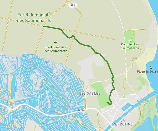
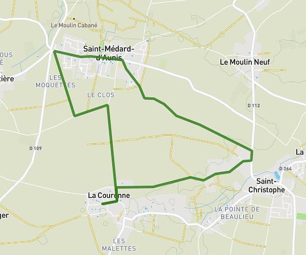
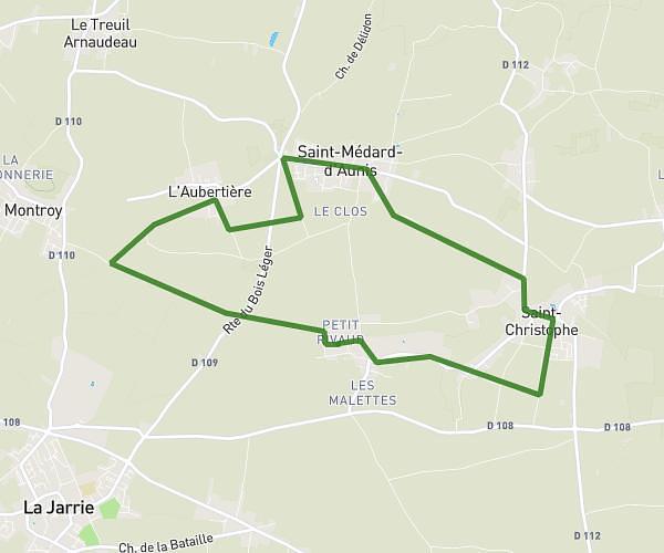
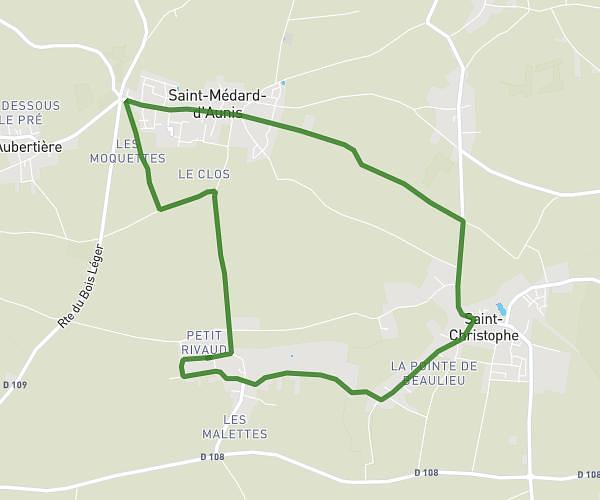
This running route covers 7.959mi starting from Ballon, Charente-Maritime. The run is a loop trail and returns to the trailhead. This run is rated as hard, expect about 1h16m to complete it. The route has an elevation gain of 52ft and an elevation loss of 72ft.
Boucle de La Gravelle
Route details
6.21mph
Speed
879 kcal
Calories burned
Loop trail
Route type
62ft
Min altitude
128ft
Max altitude
Route profile
52ft
Elevation gain
72ft
Elevation loss
62ft
Min altitude
128ft
Max altitude
How to get there
Trailhead: Rue Des Oiseaux, 17290 Ballon
GPS coordinates of the trailhead: 46.08017, -0.96598 / 46°4'48'' N, 0°57'57'' W