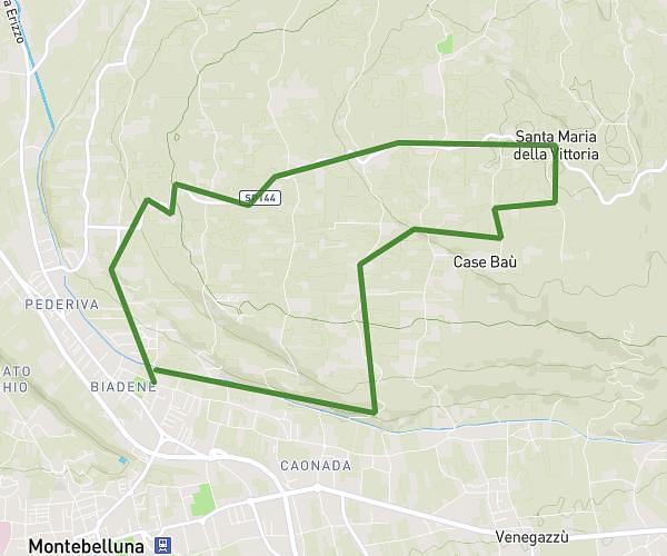
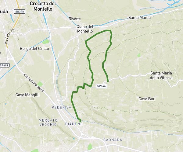
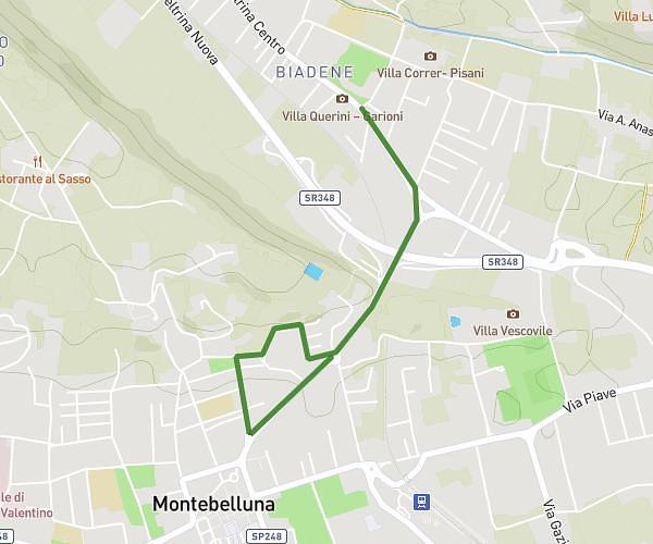
This running route covers 7.674mi starting from Montebelluna, Treviso. The run is a loop trail and returns to the trailhead. This run is rated as hard, expect about 1h5m to complete it. The route has an elevation gain of 965ft and an elevation loss of 965ft.
Montello 0
Route details
7.08mph
Speed
743 kcal
Calories burned
Loop trail
Route type
404ft
Min altitude
928ft
Max altitude
Route profile
965ft
Elevation gain
965ft
Elevation loss
404ft
Min altitude
928ft
Max altitude
How to get there
Trailhead: Via Aurelio Bonsembiante 2, 31044 Montebelluna Treviso, Italy
GPS coordinates of the trailhead: 45.787988, 12.053259 / 45°47'16'' N, 12°3'11'' E