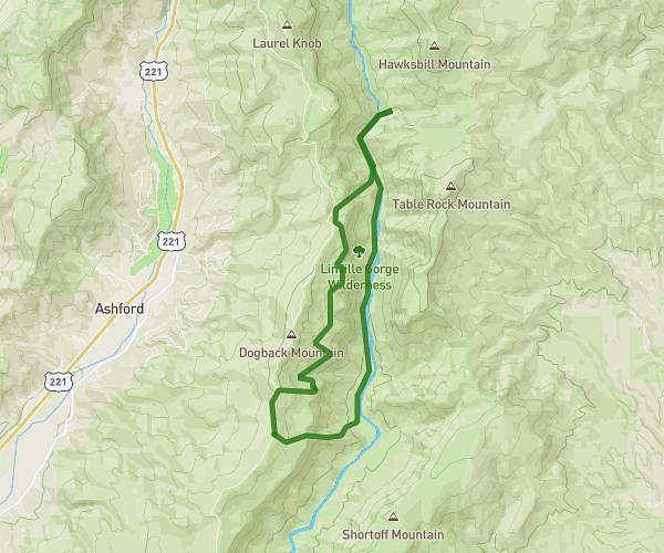
This hiking trail covers 4.58mi starting from Morganton, North Carolina. The hike is a loop trail and returns to the trailhead. This hike is rated as strenuous, plan for about 1h37m to complete it. The route has an elevation gain of 1844ft and an elevation loss of 1834ft.
Hawksbill Mountain Via Hawksbill Ledge
Route details
2.81mph
Speed
770 kcal
Calories burned
15.2%
Avg grade
Loop trail
Route type
2313ft
Min altitude
3986ft
Max altitude
Steep climb
Route profile
1844ft
Elevation gain
1834ft
Elevation loss
2313ft
Min altitude
3986ft
Max altitude
How to get there
Trailhead: Morganton, North Carolina 28655, United States
GPS coordinates of the trailhead: 35.902947, -81.894578 / 35°54'10'' N, 81°53'40'' W