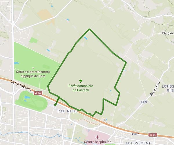
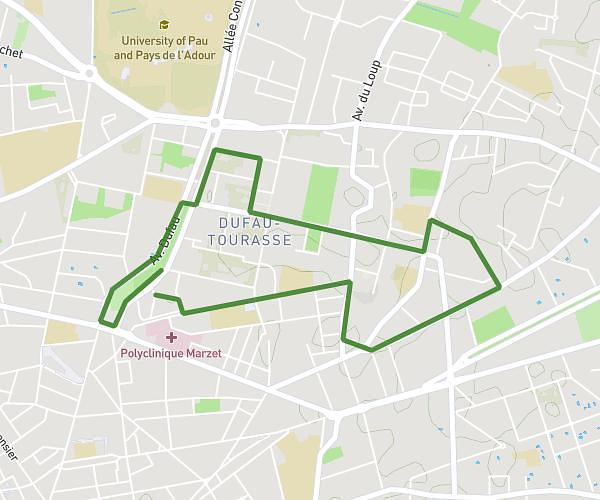
This running route covers 13.253mi starting from Pau, Pyrénées-Atlantiques. The run is a loop trail and returns to the trailhead. This run is rated as strenuous, expect about 2h to complete it. The route has an elevation gain of 538ft and an elevation loss of 538ft.
Semi pau
Route details
6.62mph
Speed
1372 kcal
Calories burned
Loop trail
Route type
564ft
Min altitude
722ft
Max altitude
Route profile
538ft
Elevation gain
538ft
Elevation loss
564ft
Min altitude
722ft
Max altitude
How to get there
Trailhead: 4 Rue Devéria, 64000 Pau, France
GPS coordinates of the trailhead: 43.30193, -0.35765 / 43°18'6'' N, 0°21'27'' W