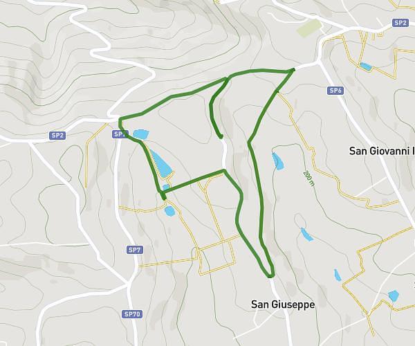
This running route covers 5.375mi starting from Ascoli Piceno, Ascoli Piceno. The run is a loop trail and returns to the trailhead. This run is rated as moderate, expect about 58m to complete it. The route has an elevation gain of 1444ft and an elevation loss of 1444ft.
ROSARA - FORTEZZA
Route details
5.56mph
Speed
663 kcal
Calories burned
Loop trail
Route type
791ft
Min altitude
1404ft
Max altitude
Route profile
1444ft
Elevation gain
1444ft
Elevation loss
791ft
Min altitude
1404ft
Max altitude
How to get there
Trailhead: Strada Provinciale 163 Rosara, 63100 Ascoli Piceno Ascoli Piceno, Italy
GPS coordinates of the trailhead: 42.837771, 13.529145 / 42°50'15'' N, 13°31'44'' E