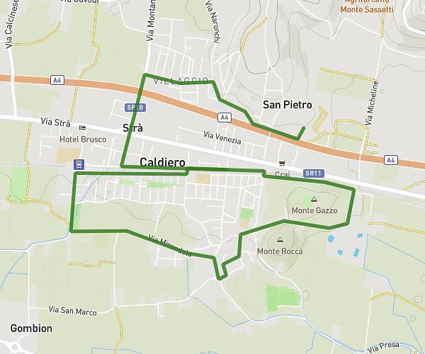
This running route covers 6.219mi starting from Verona, Verona. The run does not return to the trailhead and ends near Piazzetta Castelvecchio 50, 37122 Verona Verona, Italy. This run is rated as moderate, expect about 8m to complete it. The route has an elevation gain of 223ft and an elevation loss of 226ft.
mdg 2024
Route details
46.65mph
Speed
91 kcal
Calories burned
Point to point
Route type
187ft
Min altitude
230ft
Max altitude
Route profile
223ft
Elevation gain
226ft
Elevation loss
187ft
Min altitude
230ft
Max altitude
How to get there
Trailhead: Corso Porta Nuova 11b, 37122 Verona Verona, Italy
GPS coordinates of the trailhead: 45.43835, 10.99164 / 45°26'18'' N, 10°59'29'' E