This walking route covers 5.265mi starting from Neufchâteau, Luxembourg. The walk is a loop trail and returns to the trailhead. This walk is rated as hard, plan for about 1h53m to complete it. The route has an elevation gain of 509ft and an elevation loss of 509ft.
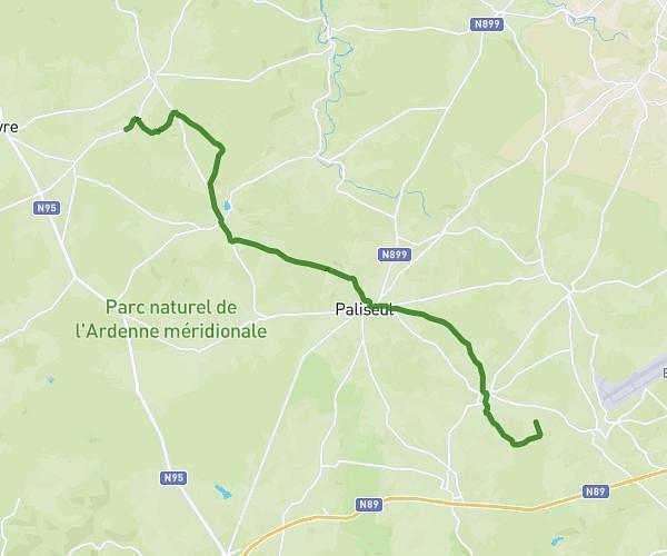
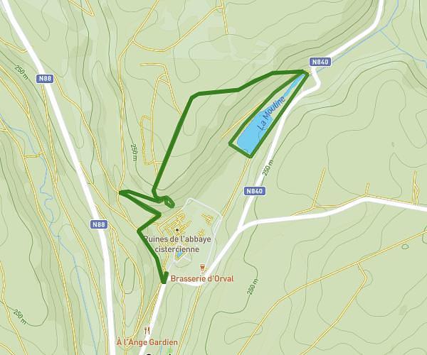
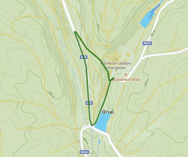
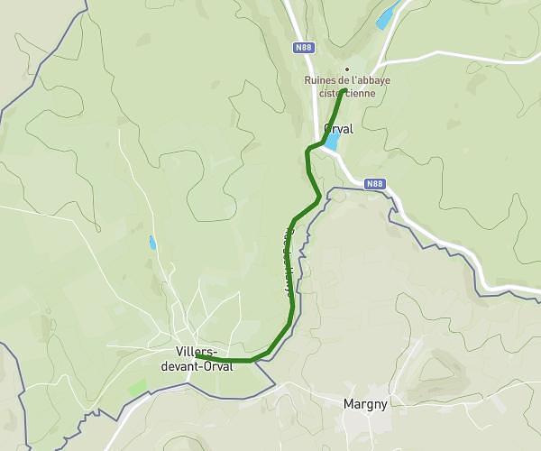
MASSUL 8,5km
Route details
21:27/mi
Pace
461 kcal
Calories burned
Loop trail
Route type
1486ft
Min altitude
1637ft
Max altitude
Route profile
509ft
Elevation gain
509ft
Elevation loss
1486ft
Min altitude
1637ft
Max altitude
How to get there
Trailhead: Chemin De Marfontaine 13, 6840 Neufchâteau, Luxembourg, Belgium
GPS coordinates of the trailhead: 49.87184, 5.51138 / 49°52'18'' N, 5°30'40'' E