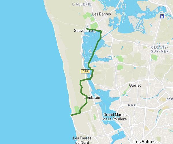
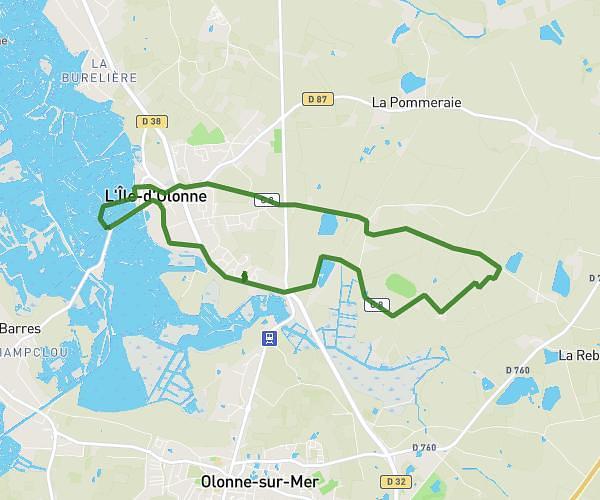
This hiking trail covers 12.734mi starting from Jard-sur-Mer, Vendée. The hike is a loop trail and returns to the trailhead. This hike is rated as moderate, plan for about 2h45m to complete it. The route has an elevation gain of 344ft and an elevation loss of 341ft.
Trivalis
Route details
4.63mph
Speed
1165 kcal
Calories burned
1.0%
Avg grade
Loop trail
Route type
0ft
Min altitude
66ft
Max altitude
Route profile
344ft
Elevation gain
341ft
Elevation loss
0ft
Min altitude
66ft
Max altitude
How to get there
Trailhead: 3 Parking Du Port De Plaisance, 85520 Jard-sur-Mer, France
GPS coordinates of the trailhead: 46.4093, -1.58476 / 46°24'33'' N, 1°35'5'' W