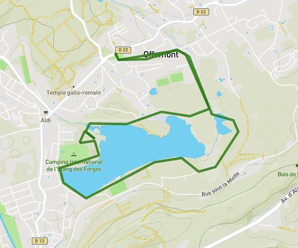
This running route covers 6.416mi starting from Faymont, Haute-Saône. The run is a loop trail and returns to the trailhead. This run is rated as moderate, expect about 1h to complete it. The route has an elevation gain of 866ft and an elevation loss of 866ft.
Trail faymont 10km
Route details
6.42mph
Speed
686 kcal
Calories burned
Loop trail
Route type
1027ft
Min altitude
1490ft
Max altitude
Route profile
866ft
Elevation gain
866ft
Elevation loss
1027ft
Min altitude
1490ft
Max altitude
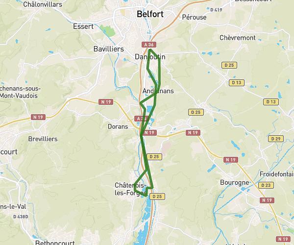
How to get there
Trailhead: 1 Rue De Lomont, 70200 Faymont, France
GPS coordinates of the trailhead: 47.60997, 6.59422 / 47°36'35'' N, 6°35'39'' E