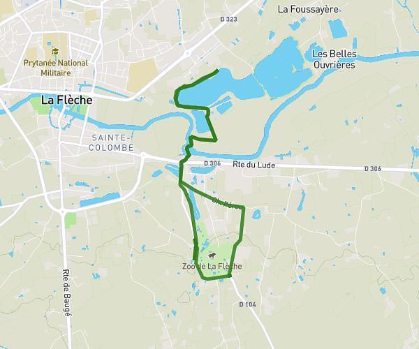
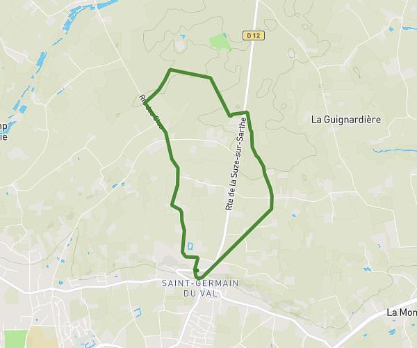
This running route covers 5.208mi starting from La Suze-sur-Sarthe, Sarthe. The run is a loop trail and returns to the trailhead. This run is rated as moderate, expect about 56m to complete it. The route has an elevation gain of 397ft and an elevation loss of 397ft.
8km - 120 m d+
Route details
5.58mph
Speed
640 kcal
Calories burned
Loop trail
Route type
141ft
Min altitude
262ft
Max altitude
Route profile
397ft
Elevation gain
397ft
Elevation loss
141ft
Min altitude
262ft
Max altitude
How to get there
Trailhead: 16 Rue Jules Olivier, 72210 La Suze-sur-Sarthe, France
GPS coordinates of the trailhead: 47.88845, 0.02708 / 47°53'18'' N, 0°1'37'' E