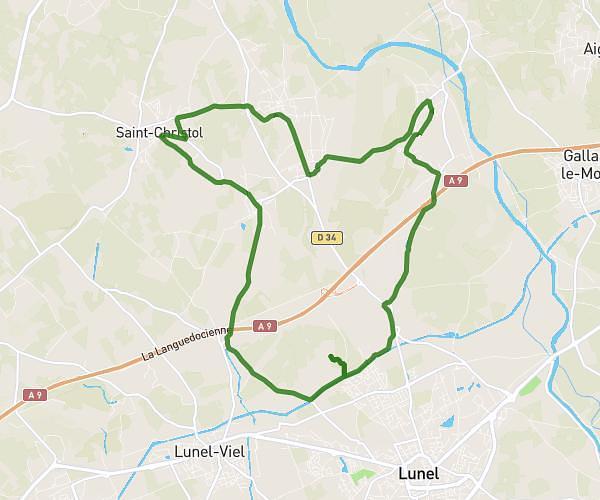
This cycling route covers 10.466mi starting from Saint-Mathieu-de-Tréviers, Hérault. The ride does not return to the trailhead and ends near 5000f Avenue Agropolis, 34980 Montferrier-sur-Lez, France. This route is rated as easy, plan for about 1h3m to complete it. The route has an elevation gain of 62ft and an elevation loss of 233ft.
Dom travail
Route details
552 kcal
Calories burned
0.5%
Avg grade
Point to point
Route type
138ft
Min altitude
364ft
Max altitude
Route profile
62ft
Elevation gain
233ft
Elevation loss
138ft
Min altitude
364ft
Max altitude
How to get there
Trailhead: 171 Avenue Des Côteaux De Montferrand, 34270 Saint-Mathieu-de-Tréviers, France
GPS coordinates of the trailhead: 43.766101, 3.864176 / 43°45'57'' N, 3°51'51'' E