MapPlanner
13.297mi
Distance
1h50m
Duration
7.25mph
Speed
+623ft
Elevation gain
-620ft
Elevation loss
Moderate
Level

Lunel St christol lunel

Route details

974 kcal
Calories burned
1.8%
Avg grade
Loop trail
Route type
39ft
Min altitude
220ft
Max altitude

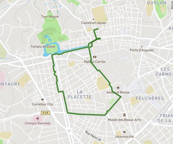
This cycling route covers 13.297mi starting from Lunel, Hérault. The ride is a loop trail and returns to the trailhead. This route is rated as moderate, plan for about 1h50m to complete it. The route has an elevation gain of 623ft and an elevation loss of 620ft.

Route profile

623ft
Elevation gain
620ft
Elevation loss
39ft
Min altitude
220ft
Max altitude

How to get there

Trailhead: 307 Chemin Du Repounchoun, 34400 Lunel, France

GPS coordinates of the trailhead: 43.692572, 4.116117 / 43°41'33'' N, 4°6'58'' E

Caution: May Cross Private Property

This route may pass through or near private property. Always respect posted signs, obtain permission where required, and follow local trespassing laws. MapPlanner does not guarantee public access along any route.

Safety Notice

Trail and road conditions may change without notice due to weather, construction, or other factors. Always verify current conditions before heading out. You are responsible for your own safety — follow local signage, obey traffic laws, and use your best judgment on the trail.