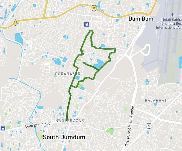
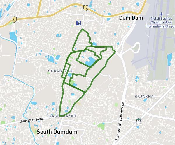
This cycling route covers 6.148mi starting from Dum Dum, West Bengal. The ride is a loop trail and returns to the trailhead. This route is rated as moderate, plan for about 52m to complete it. The route has an elevation gain of 141ft and an elevation loss of 138ft.
Cycle Route 1
Route details
458 kcal
Calories burned
0.9%
Avg grade
Loop trail
Route type
16ft
Min altitude
36ft
Max altitude
Route profile
141ft
Elevation gain
138ft
Elevation loss
16ft
Min altitude
36ft
Max altitude
How to get there
Trailhead: Maitreyi Road, Rajbari, 700028, Dum Dum, North 24 Parganas, West Bengal, India
GPS coordinates of the trailhead: 22.63862, 88.42009 / 22°38'19'' N, 88°25'12'' E