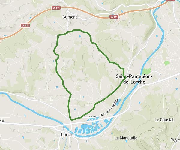
This running route covers 3.325mi starting from Objat, Corrèze. The run is a loop trail and returns to the trailhead. This run is rated as easy, expect about 40m to complete it. The route has an elevation gain of 13ft and an elevation loss of 20ft.
Course à pied
Route details
4.99mph
Speed
457 kcal
Calories burned
Loop trail
Route type
400ft
Min altitude
420ft
Max altitude
Route profile
13ft
Elevation gain
20ft
Elevation loss
400ft
Min altitude
420ft
Max altitude
How to get there
Trailhead: 4 Place Du 11 Novembre, 19130 Objat, France
GPS coordinates of the trailhead: 45.26309, 1.40971 / 45°15'47'' N, 1°24'34'' E