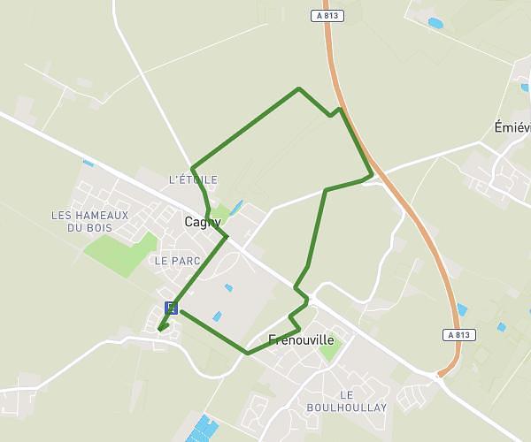
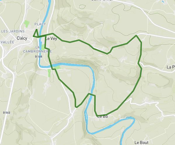
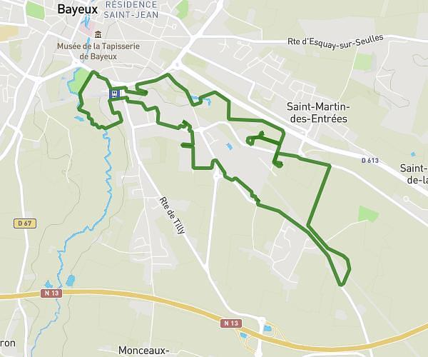
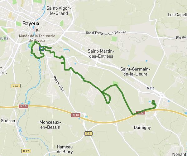
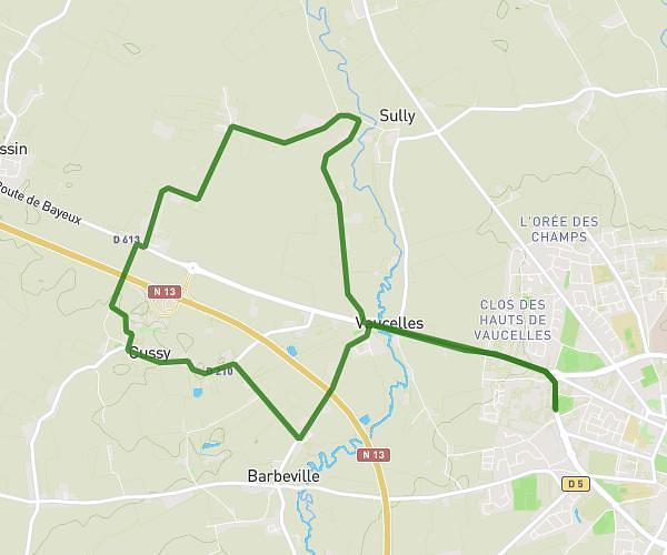
This running route covers 6.775mi starting from Val d'Arry, Calvados. The run is a loop trail and returns to the trailhead. This run is rated as moderate, expect about 1h13m to complete it. The route has an elevation gain of 33ft and an elevation loss of 89ft.
Noyers
Route details
5.57mph
Speed
835 kcal
Calories burned
Loop trail
Route type
410ft
Min altitude
492ft
Max altitude
Route profile
33ft
Elevation gain
89ft
Elevation loss
410ft
Min altitude
492ft
Max altitude
How to get there
Trailhead: 3213 Route De Bretagne, 14210 Val d'Arry, France
GPS coordinates of the trailhead: 49.11335, -0.581986 / 49°6'48'' N, 0°34'55'' W