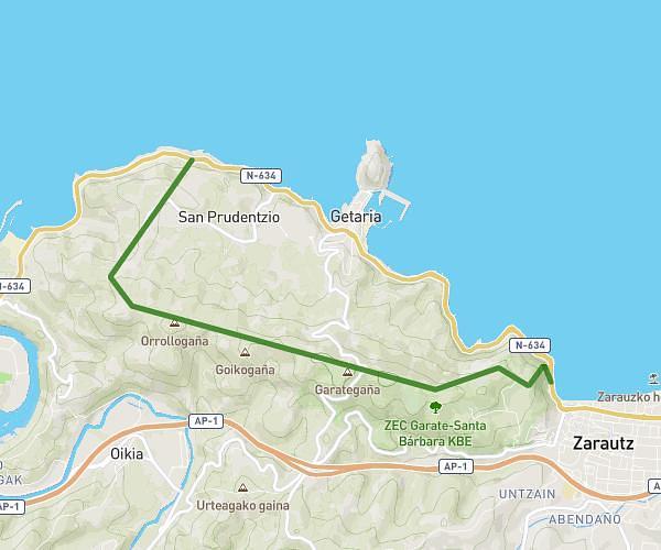
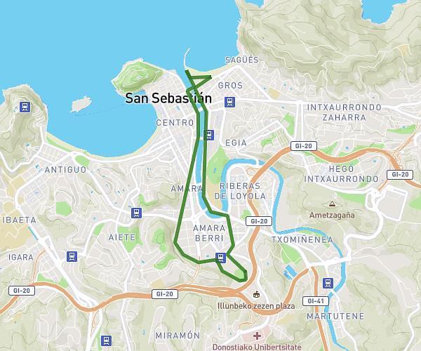
This running route covers 8.615mi starting from Donostia, Gipuzkoa. The run is a loop trail and returns to the trailhead. This run is rated as hard, expect about 1h23m to complete it. The route has an elevation gain of 499ft and an elevation loss of 420ft.
San Sebastian 1
Route details
6.23mph
Speed
949 kcal
Calories burned
Loop trail
Route type
-75ft
Min altitude
361ft
Max altitude
Route profile
499ft
Elevation gain
420ft
Elevation loss
-75ft
Min altitude
361ft
Max altitude
How to get there
Trailhead: Kontxa Pasealekua - Paseo De La Concha 2, 20007 Donostia, Gipuzkoa, Spain
GPS coordinates of the trailhead: 43.31903, -1.98488 / 43°19'8'' N, 1°59'5'' W