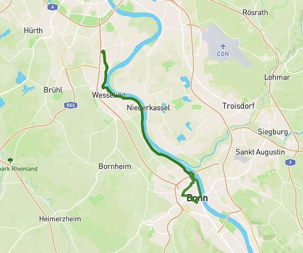
This cycling route covers 21.602mi starting from Hennef, North Rhine-Westphalia. The ride does not return to the trailhead and ends near Im Ünken, 51570 Windeck. This route is rated as moderate, plan for about 2h10m to complete it. The route has an elevation gain of 157ft and an elevation loss of 26ft.
Hennef-Merten-Dattenfeld
Route details
1140 kcal
Calories burned
0.2%
Avg grade
Point to point
Route type
223ft
Min altitude
354ft
Max altitude
Route profile
157ft
Elevation gain
26ft
Elevation loss
223ft
Min altitude
354ft
Max altitude
How to get there
Trailhead: Bahnhofstraße, 53773 Hennef
GPS coordinates of the trailhead: 50.77369, 7.28533 / 50°46'25'' N, 7°17'7'' E