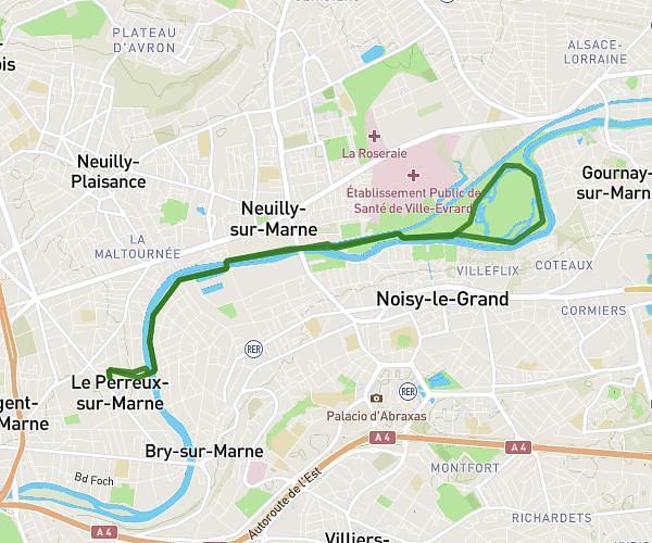
This running route covers 6.23mi starting from Lagny-sur-Marne, Seine-et-Marne. The run is a loop trail and returns to the trailhead. This run is rated as moderate, expect about 1h7m to complete it. The route has an elevation gain of 82ft and an elevation loss of 79ft.
boucle 10
Route details
5.58mph
Speed
766 kcal
Calories burned
Loop trail
Route type
348ft
Min altitude
394ft
Max altitude
Route profile
82ft
Elevation gain
79ft
Elevation loss
348ft
Min altitude
394ft
Max altitude
How to get there
Trailhead: 30 Allée Des Soupirs, 77400 Lagny-sur-Marne, France
GPS coordinates of the trailhead: 48.86685, 2.72075 / 48°52'0'' N, 2°43'14'' E