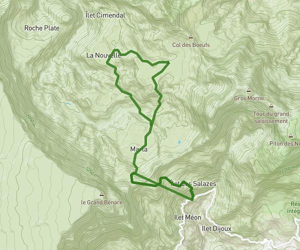
This hiking trail covers 3.903mi starting from Saint-Joseph, Reunion. The hike does not return to the trailhead and ends near 97480, Saint-Joseph, Reunion. This hike is rated as hard, plan for about 4h6m to complete it. The route has an elevation gain of 4012ft and an elevation loss of 266ft.
GRAND PAYS DEPUIS GRAND GALLET
Route details
0.95mph
Speed
2281 kcal
Calories burned
20.8%
Avg grade
Point to point
Route type
2008ft
Min altitude
5755ft
Max altitude
Steep climb
Route profile
4012ft
Elevation gain
266ft
Elevation loss
2008ft
Min altitude
5755ft
Max altitude
How to get there
Trailhead: 100 Chemin De Cap Blanc, 97480, Saint-Joseph, Reunion
GPS coordinates of the trailhead: -21.30004, 55.64433 / 21°18'0'' S, 55°38'39'' E