This walking route covers 3.575mi starting from Soucia, Jura. The walk does not return to the trailhead and ends near 6 Rue De L'église, 39130 Soucia, France. This walk is rated as moderate, plan for about 1h17m to complete it. The route has an elevation gain of 436ft and an elevation loss of 381ft.
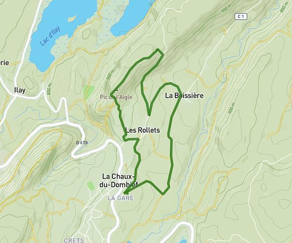
Clairvaux belv de la scie
Route details
21:33/mi
Pace
314 kcal
Calories burned
Point to point
Route type
1919ft
Min altitude
2103ft
Max altitude
Route profile
436ft
Elevation gain
381ft
Elevation loss
1919ft
Min altitude
2103ft
Max altitude
How to get there
Trailhead: 1 Rue Des Gentianes, 39130 Soucia, France
GPS coordinates of the trailhead: 46.54332, 5.751929 / 46°32'35'' N, 5°45'6'' E