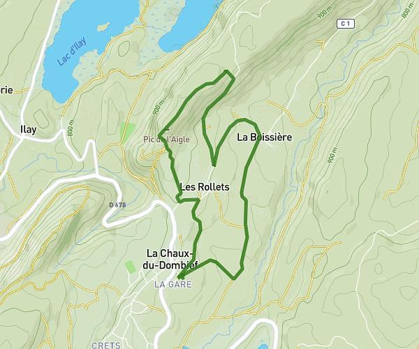
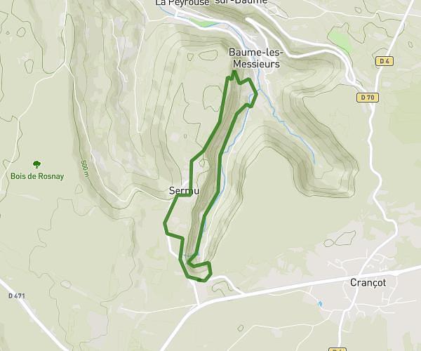
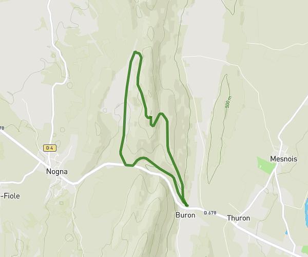
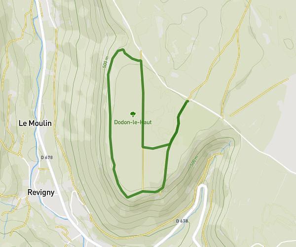
This walking route covers 3.84mi starting from Coyron, Jura. The walk is a loop trail and returns to the trailhead. This walk is rated as moderate, plan for about 1h22m to complete it. The route has an elevation gain of 495ft and an elevation loss of 489ft.
Coyron
Route details
21:22/mi
Pace
335 kcal
Calories burned
Loop trail
Route type
1516ft
Min altitude
1788ft
Max altitude
Route profile
495ft
Elevation gain
489ft
Elevation loss
1516ft
Min altitude
1788ft
Max altitude
How to get there
Trailhead: 10 Chemin De La Fraite, 39260 Coyron, France
GPS coordinates of the trailhead: 46.511194, 5.706723 / 46°30'40'' N, 5°42'24'' E