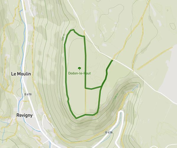
This walking route covers 3.078mi starting from Hautecour, Jura. The walk is a loop trail and returns to the trailhead. This walk is rated as easy, plan for about 1h6m to complete it. The route has an elevation gain of 669ft and an elevation loss of 673ft.
Hautercour
Route details
21:27/mi
Pace
270 kcal
Calories burned
Loop trail
Route type
2113ft
Min altitude
2523ft
Max altitude
Route profile
669ft
Elevation gain
673ft
Elevation loss
2113ft
Min altitude
2523ft
Max altitude
How to get there
Trailhead: 155 Chemin Des Mouraines, 39130 Hautecour, France
GPS coordinates of the trailhead: 46.56528, 5.77156 / 46°33'55'' N, 5°46'17'' E