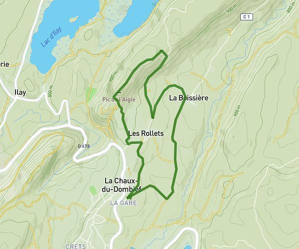
This walking route covers 3.641mi starting from Châtel-de-Joux, Jura. The walk is a loop trail and returns to the trailhead. This walk is rated as moderate, plan for about 1h18m to complete it. The route has an elevation gain of 791ft and an elevation loss of 814ft.
Lac d'etival
Route details
21:25/mi
Pace
319 kcal
Calories burned
Loop trail
Route type
2618ft
Min altitude
3084ft
Max altitude
Route profile
791ft
Elevation gain
814ft
Elevation loss
2618ft
Min altitude
3084ft
Max altitude
How to get there
Trailhead: Chemin Neuf, 39130 Châtel-de-Joux, France
GPS coordinates of the trailhead: 46.5151, 5.81176 / 46°30'54'' N, 5°48'42'' E