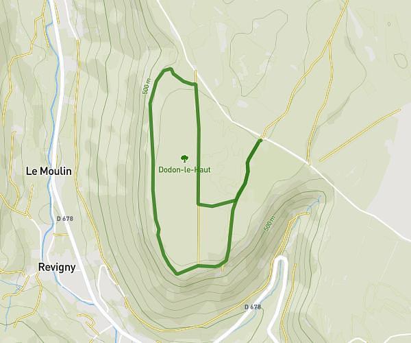
This walking route covers 1.871mi starting from Doucier, Jura. The walk is a loop trail and returns to the trailhead. This walk is rated as easy, plan for about 40m to complete it. The route has an elevation gain of 269ft and an elevation loss of 266ft.
Les merilles embuscade
Route details
21:22/mi
Pace
163 kcal
Calories burned
Loop trail
Route type
1637ft
Min altitude
1726ft
Max altitude
Route profile
269ft
Elevation gain
266ft
Elevation loss
1637ft
Min altitude
1726ft
Max altitude
How to get there
Trailhead: 215 Rue Des Trois Lacs, 39130 Doucier, France
GPS coordinates of the trailhead: 46.65181, 5.77502 / 46°39'6'' N, 5°46'30'' E