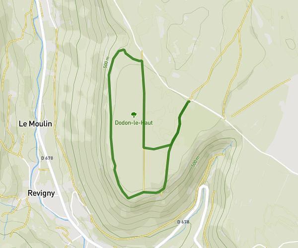
This walking route covers 2.462mi starting from Villeneuve-sous-Pymont, Jura. The walk is a loop trail and returns to the trailhead. This walk is rated as easy, plan for about 53m to complete it. The route has an elevation gain of 482ft and an elevation loss of 472ft.
Plymont
Route details
21:30/mi
Pace
216 kcal
Calories burned
Loop trail
Route type
899ft
Min altitude
1250ft
Max altitude
Route profile
482ft
Elevation gain
472ft
Elevation loss
899ft
Min altitude
1250ft
Max altitude
How to get there
Trailhead: Chemin Du Paradis, 39570 Villeneuve-sous-Pymont
GPS coordinates of the trailhead: 46.68777, 5.54445 / 46°41'15'' N, 5°32'40'' E