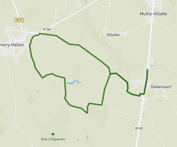
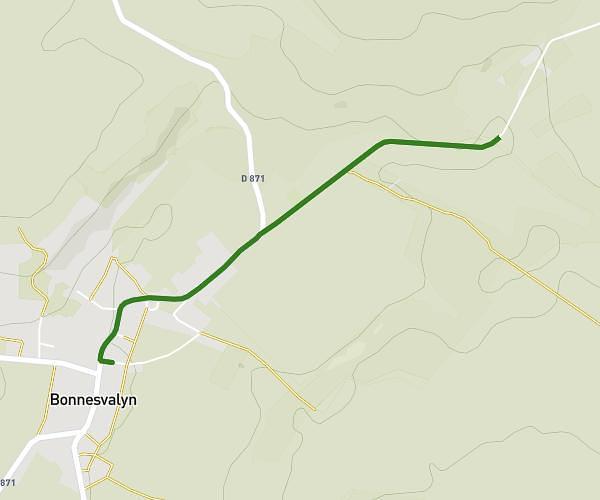
This running route covers 2.732mi starting from Holnon, Aisne. The run is a loop trail and returns to the trailhead. This run is rated as easy, expect about 32m58s to complete it. The route has an elevation gain of 115ft and an elevation loss of 115ft.
Holnon
Route details
4.97mph
Speed
377 kcal
Calories burned
Loop trail
Route type
351ft
Min altitude
381ft
Max altitude
Route profile
115ft
Elevation gain
115ft
Elevation loss
351ft
Min altitude
381ft
Max altitude
How to get there
Trailhead: 4 Rue Du Bois Pied De Loup, 02760 Holnon, France
GPS coordinates of the trailhead: 49.86046, 3.20857 / 49°51'37'' N, 3°12'30'' E