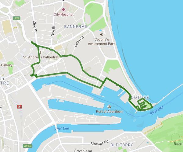
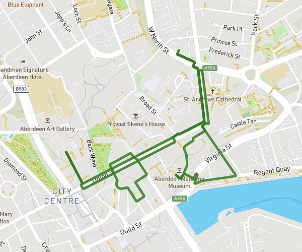
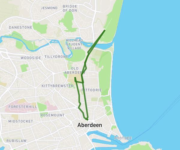
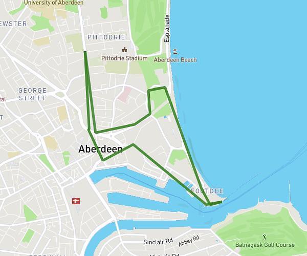
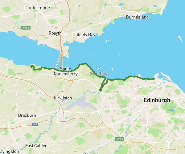
This hiking trail covers 6.669mi starting from Aberdeen, Scotland. The hike is a loop trail and returns to the trailhead. This hike is rated as moderate, plan for about 31m to complete it. The route has an elevation gain of 528ft and an elevation loss of 522ft.
Harbour sud
Route details
12.91mph
Speed
222 kcal
Calories burned
3.0%
Avg grade
Loop trail
Route type
10ft
Min altitude
82ft
Max altitude
Route profile
528ft
Elevation gain
522ft
Elevation loss
10ft
Min altitude
82ft
Max altitude
How to get there
Trailhead: 97 King Street, Aberdeen, AB24 5AB, United Kingdom
GPS coordinates of the trailhead: 57.150405, -2.095112 / 57°9'1'' N, 2°5'42'' W