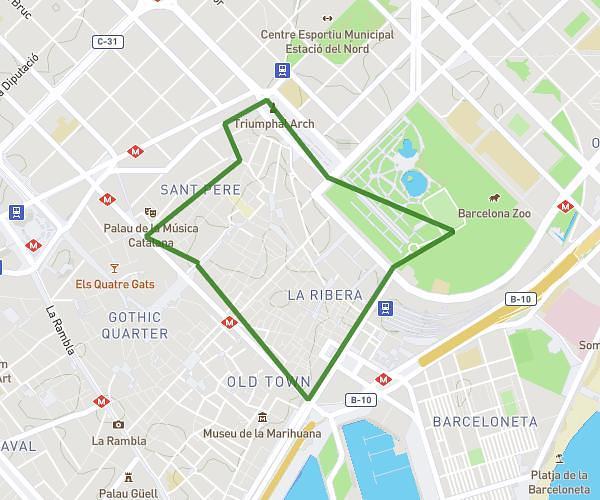
This running route covers 6.245mi starting from Castelldefels, Barcelona. The run is a loop trail and returns to the trailhead. This run is rated as moderate, expect about 1h7m to complete it. The route has an elevation gain of 16ft and an elevation loss of 20ft.
Z2 entrenamiento
Route details
5.59mph
Speed
766 kcal
Calories burned
Loop trail
Route type
16ft
Min altitude
36ft
Max altitude
Route profile
16ft
Elevation gain
20ft
Elevation loss
16ft
Min altitude
36ft
Max altitude
How to get there
Trailhead: Carrer Major 3, 08860 Castelldefels, Barcelona, Spain
GPS coordinates of the trailhead: 41.28149, 1.979035 / 41°16'53'' N, 1°58'44'' E