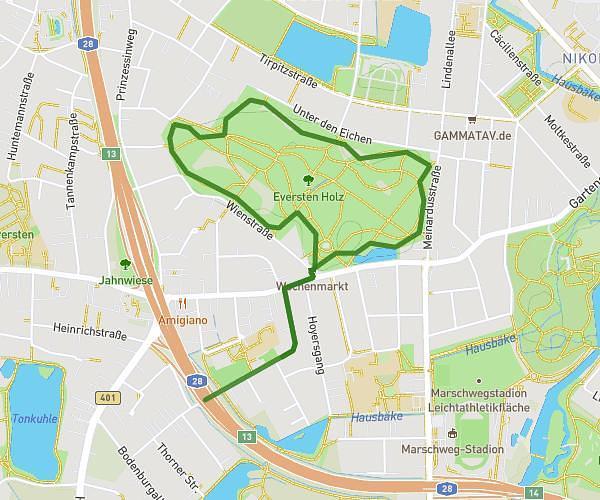
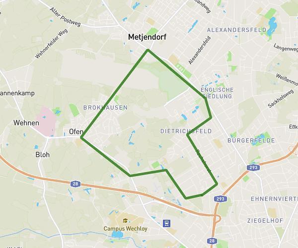
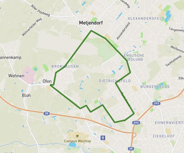
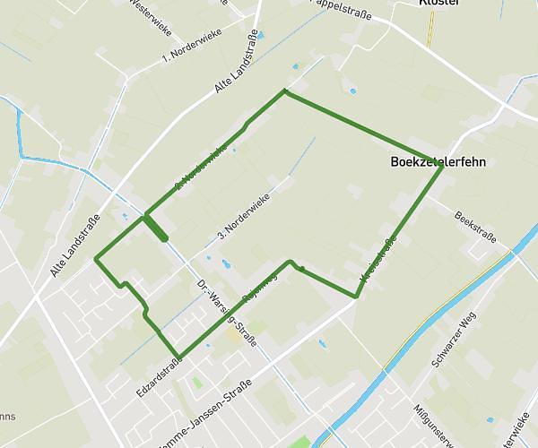
This running route covers 1.801mi starting from Apen, Lower Saxony. The run does not return to the trailhead and ends near Wittenrieder Straße, 26689 Apen, Germany. This run is rated as easy, expect about 4s to complete it. The route has an elevation gain of 13ft and an elevation loss of 10ft.
Jjj
Route details
1620.66mph
Speed
1 kcal
Calories burned
Point to point
Route type
7ft
Min altitude
20ft
Max altitude
Route profile
13ft
Elevation gain
10ft
Elevation loss
7ft
Min altitude
20ft
Max altitude
How to get there
Trailhead: Edewechter Straße 59, 26689 Apen, Germany
GPS coordinates of the trailhead: 53.164691, 7.85286 / 53°9'52'' N, 7°51'10'' E