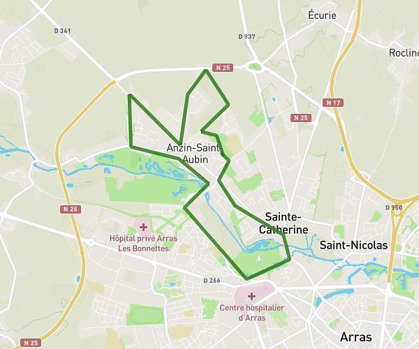
This running route covers 6.713mi starting from Noyelles-sous-Lens, Pas-de-Calais. The run is a loop trail and returns to the trailhead. This run is rated as moderate, expect about 1h12m to complete it. The route has an elevation gain of 361ft and an elevation loss of 358ft.
Sortie Noyelles 10km
Route details
5.59mph
Speed
823 kcal
Calories burned
Loop trail
Route type
62ft
Min altitude
144ft
Max altitude
Route profile
361ft
Elevation gain
358ft
Elevation loss
62ft
Min altitude
144ft
Max altitude
How to get there
Trailhead: 1 Rue De La République, 62221 Noyelles-sous-Lens, France
GPS coordinates of the trailhead: 50.43175, 2.874757 / 50°25'54'' N, 2°52'29'' E