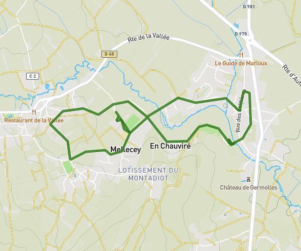
This walking route covers 4.099mi starting from Buxy, Saône-et-Loire. The walk is a loop trail and returns to the trailhead. This walk is rated as moderate, plan for about 1h28m to complete it. The route has an elevation gain of 344ft and an elevation loss of 341ft.
Voie verte Jully retour Chenevelles
Route details
21:27/mi
Pace
359 kcal
Calories burned
Loop trail
Route type
725ft
Min altitude
873ft
Max altitude
Route profile
344ft
Elevation gain
341ft
Elevation loss
725ft
Min altitude
873ft
Max altitude
How to get there
Trailhead: 19b Rue Haute De La Gare, 71390 Buxy, France
GPS coordinates of the trailhead: 46.71458, 4.70075 / 46°42'52'' N, 4°42'2'' E