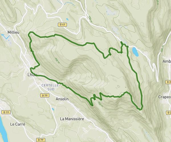
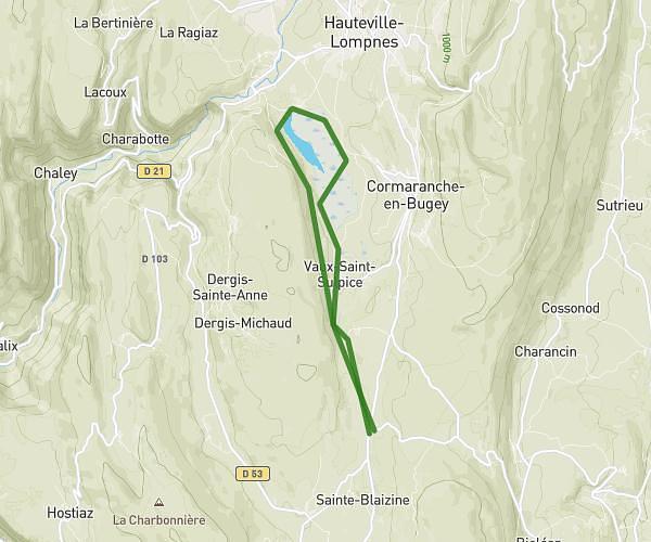
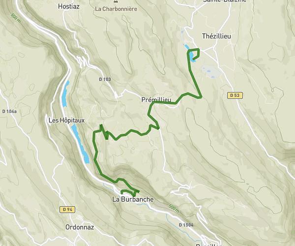
This running route covers 6.319mi starting from Plateau d'Hauteville, Ain. The run does not return to the trailhead and ends near Route Du Marais, 01110 Plateau d'Hauteville, France. This run is rated as moderate, expect about 1h6m to complete it. The route has an elevation gain of 381ft and an elevation loss of 659ft.
Lac Lésines
Route details
5.74mph
Speed
755 kcal
Calories burned
Point to point
Route type
2477ft
Min altitude
3038ft
Max altitude
Route profile
381ft
Elevation gain
659ft
Elevation loss
2477ft
Min altitude
3038ft
Max altitude
How to get there
Trailhead: Chemin Du Camping, 01110 Plateau d'Hauteville, France
GPS coordinates of the trailhead: 45.88652, 5.586641 / 45°53'11'' N, 5°35'11'' E