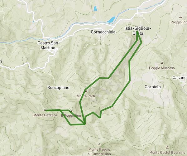
This running route covers 6.146mi starting from Firenzuola, Florence. The run does not return to the trailhead and ends near Sp116, 50033 Firenzuola Florence, Italy. This run is rated as moderate, expect about 5h to complete it. The route has an elevation gain of 2395ft and an elevation loss of 1047ft.
firenzuola
Route details
1.23mph
Speed
3430 kcal
Calories burned
Point to point
Route type
1621ft
Min altitude
3665ft
Max altitude
Route profile
2395ft
Elevation gain
1047ft
Elevation loss
1621ft
Min altitude
3665ft
Max altitude
How to get there
Trailhead: Via Sigliola Greta 708, 50033 Firenzuola Florence, Italy
GPS coordinates of the trailhead: 44.103157, 11.351556 / 44°6'11'' N, 11°21'5'' E