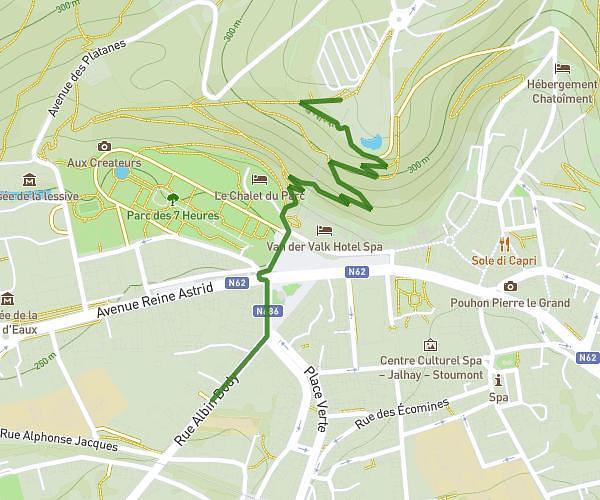
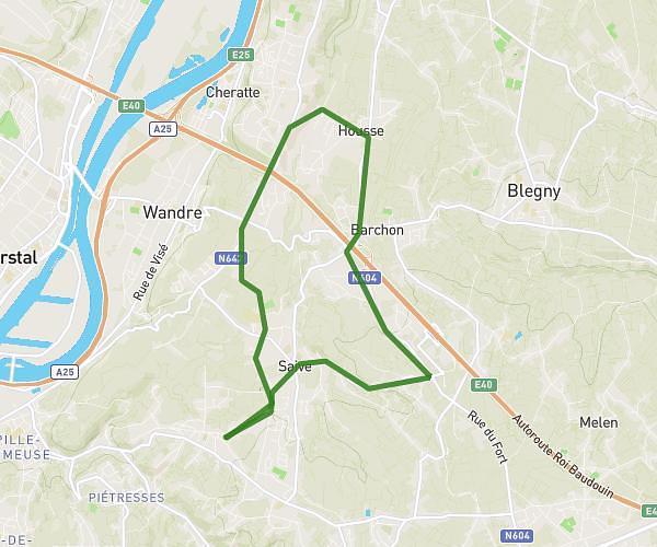
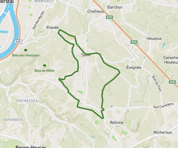
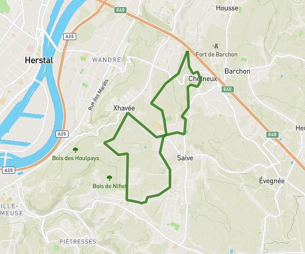
This walking route covers 9.786mi starting from Stoumont, Liege. The walk does not return to the trailhead and ends near Wérichê 34, 4990 Lierneux, Liege, Belgium. This walk is rated as strenuous, plan for about 3h30m to complete it. The route has an elevation gain of 1713ft and an elevation loss of 1119ft.
peiper
Route details
21:27/mi
Pace
858 kcal
Calories burned
Point to point
Route type
709ft
Min altitude
1870ft
Max altitude
Route profile
1713ft
Elevation gain
1119ft
Elevation loss
709ft
Min altitude
1870ft
Max altitude
How to get there
Trailhead: Wérimont, 4987 Stoumont, Liege, Belgium
GPS coordinates of the trailhead: 50.40133, 5.846844 / 50°24'4'' N, 5°50'48'' E