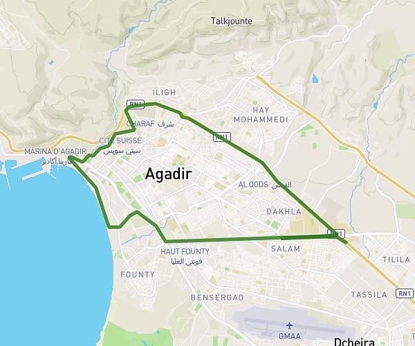
This running route covers 9.173mi starting from Agadir, Souss-Massa. The run does not return to the trailhead and ends near Rp1001, 80 Agadir, Morocco. This run is rated as hard, expect about 1h38m to complete it. The route has an elevation gain of 682ft and an elevation loss of 614ft.
aourir
Route details
5.59mph
Speed
1125 kcal
Calories burned
Point to point
Route type
16ft
Min altitude
374ft
Max altitude
Route profile
682ft
Elevation gain
614ft
Elevation loss
16ft
Min altitude
374ft
Max altitude
How to get there
Trailhead: Boulevard Hassan Ii شارع الحسن الثاني, 80 Agadir, Morocco
GPS coordinates of the trailhead: 30.410316, -9.589838 / 30°24'37'' N, 9°35'23'' W