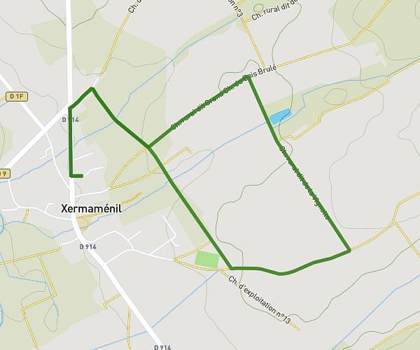
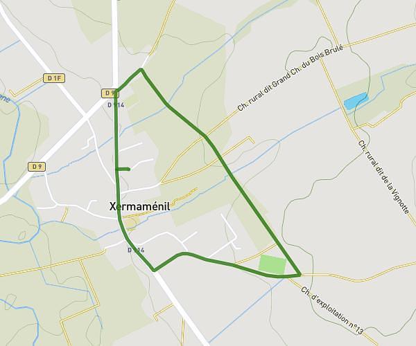
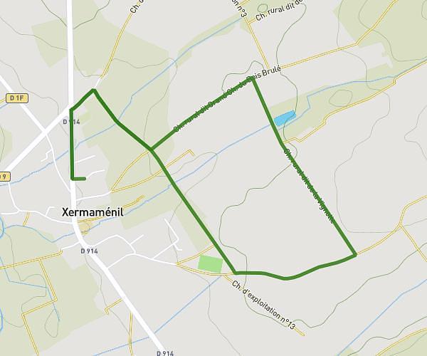
This running route covers 7.081mi starting from Laxou, Meurthe-et-Moselle. The run is a loop trail and returns to the trailhead. This run is rated as moderate, expect about 1h16m to complete it. The route has an elevation gain of 594ft and an elevation loss of 597ft.
Laxou jog
Route details
5.59mph
Speed
869 kcal
Calories burned
Loop trail
Route type
830ft
Min altitude
1165ft
Max altitude
Route profile
594ft
Elevation gain
597ft
Elevation loss
830ft
Min altitude
1165ft
Max altitude
How to get there
Trailhead: 10 Rue De L'égalité, 54520 Laxou, France
GPS coordinates of the trailhead: 48.6865, 6.14517 / 48°41'11'' N, 6°8'42'' E