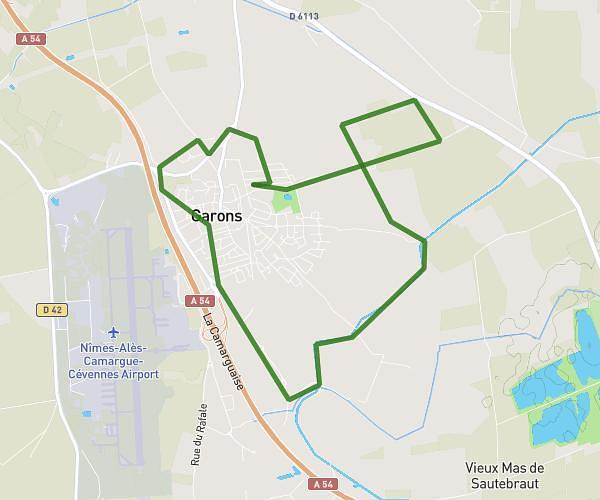
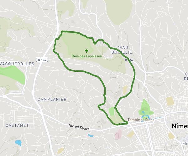
This running route covers 5.149mi starting from Caveirac, Gard. The run is a loop trail and returns to the trailhead. This run is rated as moderate, expect about 45m12s to complete it. The route has an elevation gain of 72ft and an elevation loss of 75ft.
Voie verte Nimes
Route details
6.84mph
Speed
517 kcal
Calories burned
Loop trail
Route type
223ft
Min altitude
299ft
Max altitude
Route profile
72ft
Elevation gain
75ft
Elevation loss
223ft
Min altitude
299ft
Max altitude
How to get there
Trailhead: 131 Chemin De Milhaud, 30820 Caveirac, France
GPS coordinates of the trailhead: 43.822166, 4.267111 / 43°49'19'' N, 4°16'1'' E