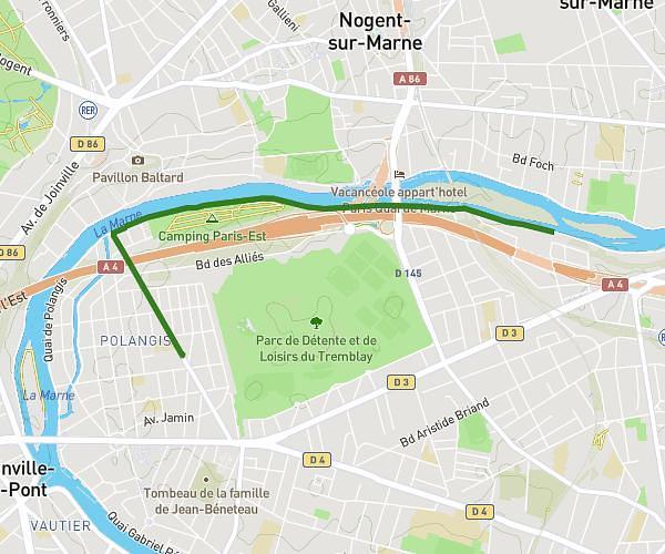
This running route covers 17.15mi starting from Asnières-sur-Seine, Hauts-de-Seine. The run does not return to the trailhead and ends near 46 Route De Gisors, 95520 Osny, France. This run is rated as strenuous, expect about 3h13m to complete it. The route has an elevation gain of 899ft and an elevation loss of 725ft.
Maison boulot
Route details
5.33mph
Speed
2207 kcal
Calories burned
Point to point
Route type
66ft
Min altitude
279ft
Max altitude
Route profile
899ft
Elevation gain
725ft
Elevation loss
66ft
Min altitude
279ft
Max altitude
How to get there
Trailhead: 34 Rue Henri Poincaré, 92600 Asnières-sur-Seine, France
GPS coordinates of the trailhead: 48.932348, 2.27658 / 48°55'56'' N, 2°16'35'' E